MACOG Data Bike
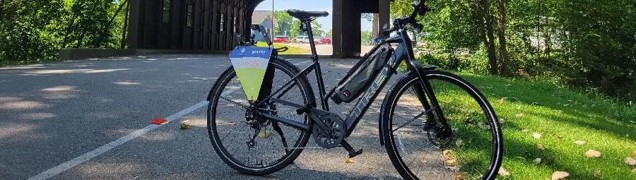
There are over 150 miles of existing trails in the four county region, with new trails being built every year. Knowing the condition of each trail is essential for their maintenance; this is why MACOG is using a “data bike” to collect information regarding each trail’s condition.
To measure trail roughness, the data bike collects data using a smart phone’s internal accelerometer, gyroscope, and the phone’s vertical displacement across sections of trail. This data is translated into a roughness score. Using this information in tandem with a mapping software, MACOG is able to create a map of the entire region showing trail conditions.
Thus far, MACOG has collected data on over 95 miles of trail. 43% of the trails currently mapped are in excellent condition, 52% are in good condition, and only 5% are in fair to poor condition based on the calculated trail roughness index score. Additionally, over 150 trail amenities have been mapped including: water fountains, restrooms, signage, and bike racks. Along with collecting readings of trail roughness, the data bike also takes 360 degree photos while on the trail which will be uploaded to Google maps street view.
A map showing trail conditions is critical for creating a timeline of required maintenance. MACOG hopes to provide local governments with the information necessary to create plans for maintaining the trails that Hoosiers enjoy.
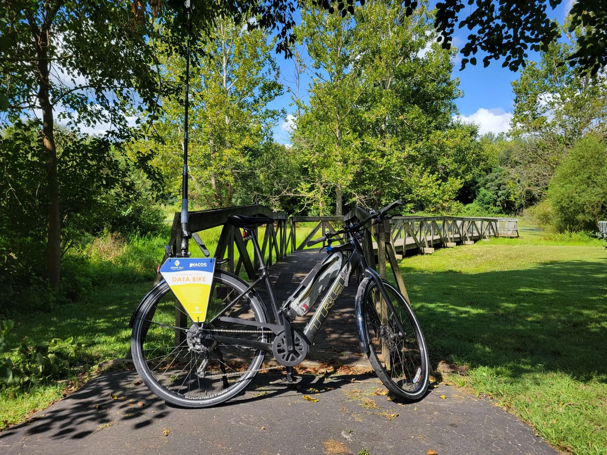
Data Bike at Argos Community Park